Garreg Hir and Bryn Amlwg, (2 x Marilyns, Carno, North Powys).
- dai186
- Nov 27, 2019
- 3 min read
Updated: Dec 8, 2020
18.11.2019 - Garreg Hir 484m and Bryn Amlwg 488m (Marilyns)
These are two Marilyns either side of the A470 near the village of Carno in North Powys.
I was just glad to get out for a couple of dry days to nail these two hills.
Garreg Hir
Garreg Hir was the first one just off the A470. There was a pull in on the corner at the start big enough for my Sprinter MWB van and off I went north on the UC road and hung a left where shortly after I intended to follow a bridleway most of the way to the summit. This was not to be.
At the junction to Maespandy farm there is a gate to the field and this was tied up and this set the tone for the hike. I loosely followed the bridleway on the map but at no point on the ascent did I find an open gate or a style. Near Parc Y Rhiw farm it appeared that the bridleway should have run adjacent to the farm but I couldn’t find it and did not want to go to near an occupied house there to find it. In a nutshell I had a steep ascent up a waist deep fern infested hill with little or no trail what so ever to follow. I did not see any sign of the bridleway and it was not much fun!
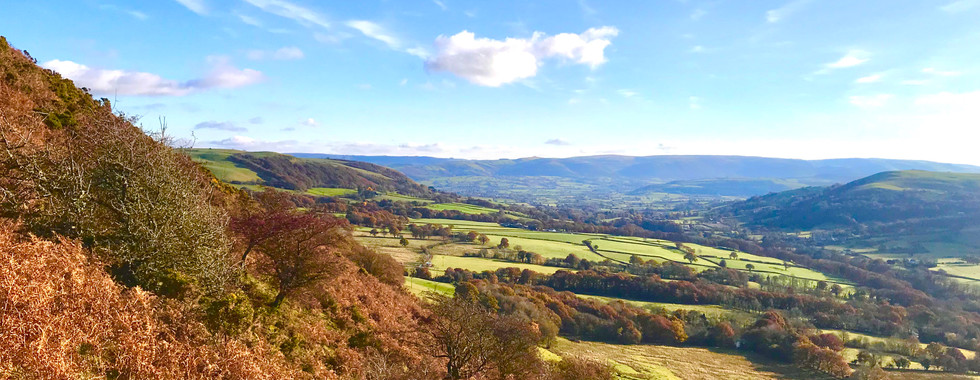
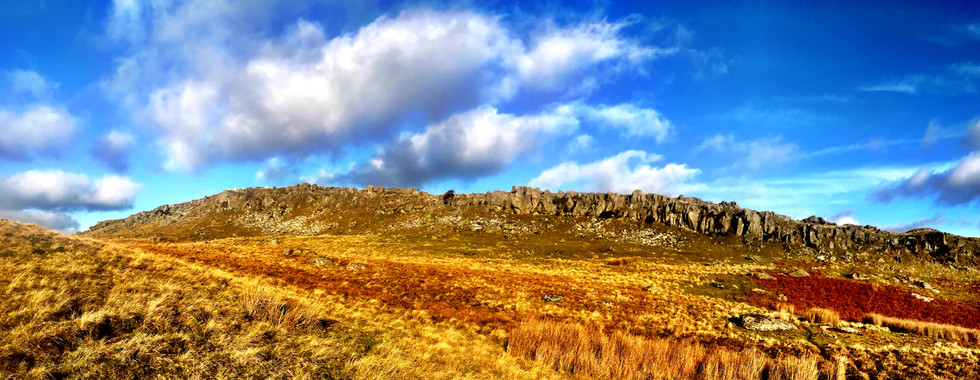
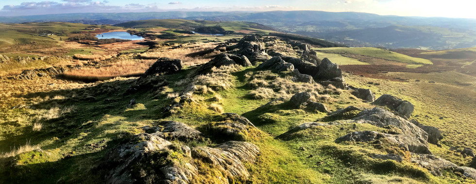
Once over the hill and out of the ferns there are some trails and it becomes quite nice and undulating. Garreg Hir’s long rocky ridge soon came into view and it is really quite steep and impressive. The trig point is set on the northern edge of this ridge and the views and landscape was not bad at all. The 3.2km to here had taken me an hour with 345m of height gain.
Heading back down I did follow a trail of a sort for a while but I was soon back in the ferns and making my way painfully back downhill through them to the road running SE away from Parc Y Rhiw farm. From here follow my gpx track as it is the best way to get to the start point. On the way you will go over the only style of the entire route.
Route Summary: Mainly farmland and a lot of fence hopping (which I don’t like to do), waist deep ferns that would be a nightmare in the summer when fully grown. The plateau however was open country with some fences and quite pleasant. Garreg Hir itself is on a lovely ridge though.
Parking and Access: I parked in a sizeable lay-bye on a bend at the start point.
Route Statistics: 6km in 2 hours and 365m of height gain.
GPX files: For gpx files go to the Peakbagger website by following this link and go to the bottom right hand of the page and click ‘Download this GPS track as a GPX file.’
Ascent Entry on Peakbagger: Garreg Hir
Bryn Amlwg
This is a very short (15 mins) from Garreg Hir. Just leaving the village of Carno heading north is an UC road on the left (West). Follow this to the start point where there is a wide left hand bend with parking on the right hand side of the road on the bend for at least one vehicle.
Just follow my gpx track and this takes you on a wide track towards Bryn Coch. Within a km there is another parking area but it looks like it belongs to some adventure/glamping company. You will see my ascent route goes towards Bryn Coch but I would follow my decent track as it is much easier and keeps away from residential property. It is all pretty much straight forward as you are following a farm track/turbine maintenance road pretty much all the way. When you get to the top the TP is on your right just off the road up a steep bank.
Parking and Access: I parked in a steep sizeable lay-bye on a bend at the start point.
Route Summary: A bit of road, farm/turbine road, all easy enough. Nice sunset views at the top.
Route Statistics: 6.7km in 1hr 35mins with 290m of height gain.
GPX files: For gpx files go to the Peakbagger website by following this link and go to the bottom right hand of the page and click ‘Download this GPS track as a GPX file.’
Ascent Entry on Peakbagger: Bryn Amlwg

Route overview on ViewRanger
Parking area and views on the way round.

Route overview on ViewRanger
Views on the way round. No picture of the parking area but see parking in description.


Comments