NW Trip.1.Day.3. Yr Eifl (Marilyn, Lleyn).
- dai186
- Aug 22, 2020
- 2 min read
Updated: Oct 3, 2020
1.8.2020 - Yr Eifl 560m, Llithfaen, Lleyn Peninsula, N.Wales (Marilyn)
There is a great overnight camper van spot at the start of this hike at the base of Yr Eifl just North of Llithfaen. Plenty of room there with about half a dozen big bays, each one can take 3-4 campers.
Today I did another Marilyn namely Yr Eifl plus a few other tops in the vicinity. Starting from the said car park I headed South into Llithfaen village and followed the B4417 a while East before turning South/right down an UC road to the base of Mynydd Carnguwch. Just after the cattle grid you go under an electric fence and go steeply uphill to a wall just below the cairned summit. There is no style on the wall so you have to find your own way over it. From here the summit is a few yards away. Once there simply retrace your steps back to the B4417 taking a slight detour to get to the marked footpath/gate that heads up North towards Caergribin and then onwards North to North East again to the rocky Tre’r Ceiri Fort. This is actually quite imposing with lovely views.
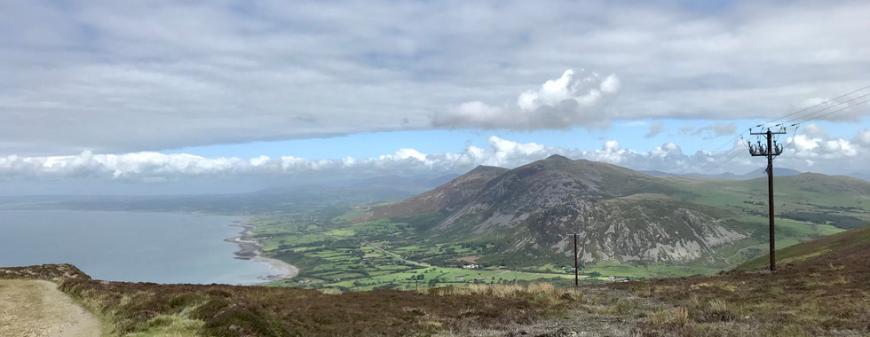
After the fort retrace your footsteps to the obvious footpath junction and you will see a stone wall heading directly uphill to the right/North East. There is a faint rough path that borders this wall. Follow it uphill and go through the gate a few hundred meters from the top. From here it is a short pull to the trig pointed summit. It is a lovely summit too with views all down the Lleyn peninsula.
You head off the summit in a North Easterly direction and the footpath takes you all the way down to Bwlch Yr Eifl, Bwlch meaning pass. Directly in front of you is the imposing rocky outcrop of Mynydd Gwaith. The name I obtained from Peakbagger as it is not named on OS maps. The way to the cairned summit is obvious and I then came back down to the Bwlch where I headed off right down the obvious track back to my start point. All in all a rather delightful hike!
Parking: Whatever your vehicle there is plenty of parking at the start point.
Route Summary: Road, rough tracks and some tufty hill heather, rocky steps in places but generally good easy footpaths. Great views up and down the Lleyn peninsula.
Route Statistics: 12km’s with 710m of ascent done in an all in time of 4hrs 10mins.
GPX files: For gpx files go to the Peakbagger website by following these links and go to the bottom right hand of the page and click ‘Download this GPS track as a GPX file.’
Ascent Entry on Peakbagger: Yr Eifl

Route overview using ViewRanger.

Plenty of car parking at the start point. This is just a few of the ample bays there.
The first half of the walk to the top of Eifl.
The second shorter part of the walk from the summit of Eifl back to the car park.


Comments