
Rhialgwm, Mynydd Y Briw, Gyrn Moelfre (3 x Marilyns just North of Welshpool).
- dai186
- Mar 8, 2020
- 3 min read

Updated: Oct 3, 2020
7.3.2020 - Rhialgwm 540m, Mynydd Y Briw 341m and Gyrn Moelfre 523m.
This was a day where I was going to drive from Brecon two hours just north of Welshpool to do three uninspiring Marilyns.
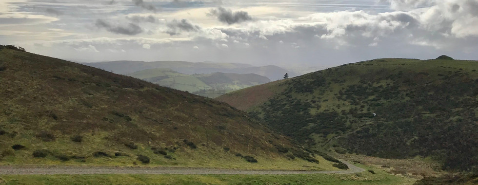
Rhialgwm
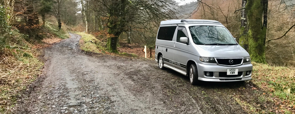
Just west of Lake Vyrnwy is Rhialgwm. Not the prettiest of hills or hikes and not the simplest either as there didn’t seem to be an obvious route up or any parking spots. Anyway I found a parking spot on a back road at the start point, just enough for my Mazda van.
Heading off on the rough track NE you walk for just over a km before turning left (NW) off the track on a wide rough forest trail and go steeply uphill until you come out of the forest. Once out on the hill there is wide trail heading uphill and west. It is marked on the map as a track but it is all thick heather but follow it as it takes you nearly all the way up to the trig point. I can’t really say if the views are any good as it was pretty dismal with heavy rain and cloudy. Anyway simply retrace your route back to the start. It did turn out easier than I thought which was a bonus.
Parking and Access: Back road, one parking spot where the tarmac ends.
Route Summary: Rough forest track, steep uphill and thick heather mountain path.
Route Statistics: 4.5km and 344m of height gain done in 1hr 4min.
Mynydd Y Briw
Mynydd Y Briw was a half hour drive east of Rhialgwm on the back roads. Here there is a telephone kiosk marked on the map and room for two vehicles to park. From the kiosk simply walk on wide track/access road that goes past the church uphill and east. Walk to the gate at the end of the road and then you can see an obvious way across the fields uphill towards the radio mast. Get to the mast and turn right to the unmarked summit. To get back to the car I took the short hike down the mast access road back to the back road and then north to the church. All easy enough.
Parking and Access: By the kiosk, enough room for two cars.
Route Summary: Access roads and a field.
Route Statistics: 1.9km and 111m of height gain done in 25 mins.
Gyrn Moelfre
A fifteen minute drive away from Mynydd Y Briw is Gyrn Moelfree. I had to take a detour due to rough roads in the area caused by a pipeline work. At the base of Gyrn Moelfre is Moelfre Hall, a farm complex. I saw some guys here and asked to park on their amply sized (huge) car park.
From here in the car park there is an obvious gate at the back with a footpath sign. There is not one actually marked on the map here but there is one a short way up the road. Anyway go through the gate, follow the track and after about 400m you veer left through the hedge and come out onto a wide rough vehicle track that takes you nearly all the way to the top. A couple of hundred meters from the top the path peters out but the going is easy enough to the trig pointed summit. Simply retrace your steps to the start. Three done in a day, easy enough!
Parking and Access: Ample car park at start point but ask for permission.
Route Summary: Defined wide vehicle access tracks in the main.
Route Statistics: 4.6km with 258m height gain done in 1hr 10mins.
GPX files: For gpx files go to the Peakbagger website by following these links and go to the bottom right hand of the page and click ‘Download this GPS track as a GPX file.’
Ascent Entry on Peakbagger: Rhialgwm, Mynydd Y Briw and Gyrn Moelfre.
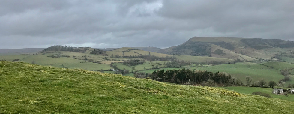
Rhialgwm

Route overview using ViewRanger


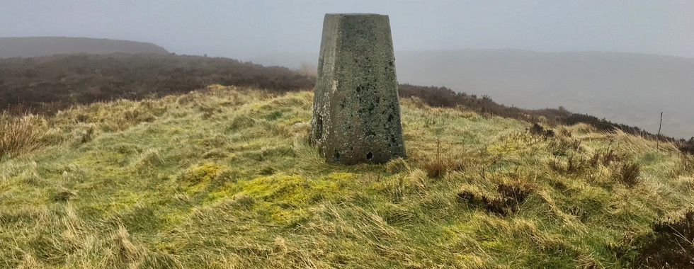
Parking area, forestry track and the TP.
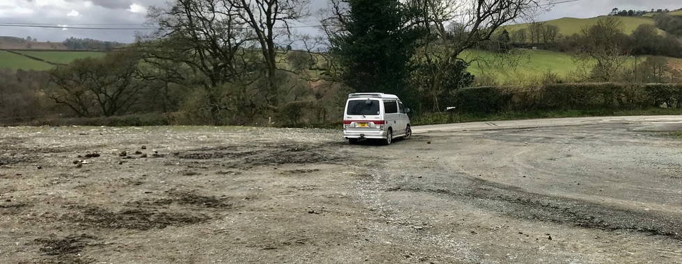
Mynydd Y Briw

Route overview using ViewRanger.


Parking at the kiosk (behind the van) and Mynydd Y Briw pictures.
Gyrn Moelfre

Route overview using ViewRanger.


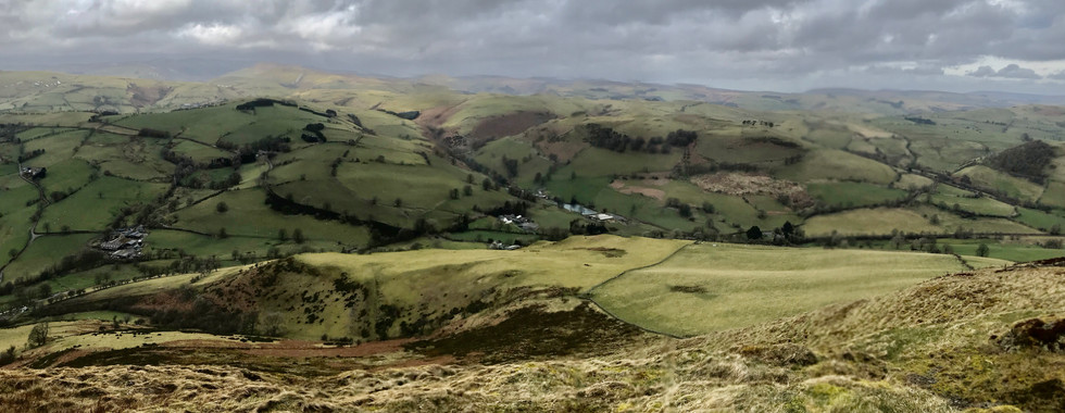


Parking area and Gyrn Moelfre.


Comments