Mynydd Uchaf, Mynydd Drumau and Mynydd Sylen (3 x Marilyns near Swansea).
- dai186
- Mar 6, 2019
- 4 min read
Updated: Oct 3, 2020
5.3.2019 - Mynydd Uchaf 357m, Mynydd Drumau 272m and Mynydd Sylen 284m.
Today was a jaunt to South West Wales near Swansea to get another three Marilyns and to finish off what is left in the SW area. This I am thankful for as many of the little hills and summits of SW were of not much interest to me. Normally they would include a trek through some unforgiving forestry, be obtusely boggy and have little by way of any scenic beauty.
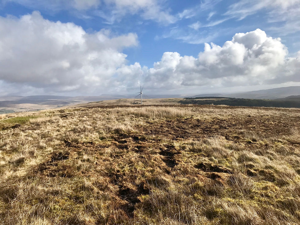
Mynydd Uchaf: This was just a few km’s north of Brynamman and I parked the car in a ‘lucky find’ car park at the start point at Tairgwaith (see os map). Having parked up I walked SE along a road and a few paths (easy enough) until I came out on Mynydd Uchaf itself. I then headed SW along a wide really mucky common path until I came to a small stream. I then followed the stream uphill due south and cut across it heading straight up to the summit where I found….nothing!
There were okay views but nothing much else. I then headed NE towards a couple of wind turbines along a wide trail. I went past these about another 1.5kms to notch up another trig point and then headed north until I hit a fence line that took me back towards Tairgwaith. I eventually hit a road and then meandered back to the car park on back lanes and a path. Follow the GPX file it is spot on.
Route Summary: Quite a tedious indistinct south wales common with okay views. Pretty boggy in places but it was after some heavy rain.
Route Statistics: All in all a 7km hike in 1hr 28min with 221m of ascent.
GPX files:For gpx files go to the Peakbagger website by following this link and go to the bottom right hand of the page and click ‘Download this GPS track as a GPX file.’
Ascent Entry: Mynydd Uchaf
Mynydd Drumau: This was near Neath Abbey but I parked just north of it at a small slip road at the start point (plenty of room). I headed SW along a myriad of roads and pathways (easy enough) until I got to the entrance of Darran Wood. Here the path is wide and there is a woodland trail. Walk up the wide trail until you come out on the hillside by some ruins. This is relatively steep all the way. Once out on the fields on the top I headed south for a short while to pick up a trig point and then headed north across the fields following a bridleway. I passed a standing stone and not long after headed slightly uphill towards the trig point. You have about 3kms of fields over the plateau but easy enough with no problems.
After this head down to the visible junction leading into Mountain Wood and here is a wide trail that zig zags all the way to Stanley Wood. Again this is easy enough but there are a few junctions so you need to pay attention. You will see that I walked past one turn off point. Once down through Stanley Wood you come out on a road for a short while but then head south or right at a house called Bryn Dewi and follow a wide bridal way again. After a couple of fields I then turned right along Longford Lane which took me back to the start.
Route Summary: Actually an okay walk mainly along woodland trails, through forests and along bridal ways. There are okay views to be had and the the standing stone is quite cool.
Route Statistics: 8km in 1hr 38mins with 250m of ascent.
GPX files:For gpx files go to the Peakbagger website by following this link and go to the bottom right hand of the page and click ‘Download this GPS track as a GPX file.’
Ascent Entry: Mynydd Drumau
Mynydd Sylen: Well not much to say about this one. It is located near the village of Five Roads near Llanelli and is in a field by a radio mast with no obvious decent hike to it. Basically find your way along the unclassified road that runs close to it. Park up in the gate entrance as it is wide enough not to obstruct anybody. Simply walk up one field to the trig point and walk back. Take the right hand gate looking north so you don’t have to clamber under the fence like I did!
Route Summary: Pants!
Route Stats: .4 of a km in 5mins flat with 16m of height gain.
GPX files:For gpx files go to the Peakbagger website by following this link and go to the bottom right hand of the page and click ‘Download this GPS track as a GPX file.’
Ascent Entry: Mynydd Sylen

Route overview using Wikiloc.

The car park at the start.

The summit of Mynydd Uchaf.

Looking towards the turbines on Mynydd Uchaf.

The turbines on Mynydd Uchaf.

The trig point on the tail end of Mynydd Uchaf.

Route overview of Mynydd Drumau using Wikiloc.

The slip road car park at the start point.

The trail leading up Darran Wood.

The trig point at the bottom tail of Mynydd Drumau.

The bridal way leading over Mynydd Drumau.

The standing stone.

Mynydd Drumau trig point.

The bottom trail heading towards Longford Lane.

Overview using ViewRanger.

Parking and the entrance gate.

Mynydd Sylen trig point.


Comments