Upper Park and Y Golfa. Two Welshpool Marilyns
- dai186
- Dec 16, 2019
- 3 min read
Updated: Oct 3, 2020
29.11.2019 - Upper Park 352m and Y Golfa 341m
These were two Marilyns on the outskirts of Welshpool. Having stayed overnight in Welshpool we walked from the town to Dinas Powis castle on a beautiful frosty morning. You walk from the town and soon enter the castle grounds via a gate onto a road that leads to the castle (just follow my gpx track). On this morning it was particularly beautiful and the park deer were about in abundance. We had a quick look at the castle but didn’t go in as we wanted to get on with the walk.
Now when I had a brief look at this walk I was a bit perturbed as I couldn’t find any completed gpx trails to Upper Park. Seeing as it was a forest walk, it belongs to Dinas Powis estate, I thought there would be but I was soon to find out why not. The forest encompassing upper park is basically surrounded by a high deer fence and any gates into it were locked shut. Simply put I would ‘not’ follow my gpx track after Powis Castle but if you look at the map you will see a road that runs North. I would follow this until it rejoins my gpx track and go over a tall gate. I have marked this with a red arrow on the map.
You then simply follow my gpx trail again which follows a public footpath/road heading West. After about three km’s you can head South to the forest entrance which is only a few hundred meters away (again see the map as to where). Now this gate was open and there are signs there saying no entry but I took this to be no entry to vehicle traffic. Anyway you can follow the track (as per the map) to the top whereby you go through a gate and over a fence to gain the high ground of Upper Park. There is no summit marker and no views here. You then simply retrace your steps back to the trail.
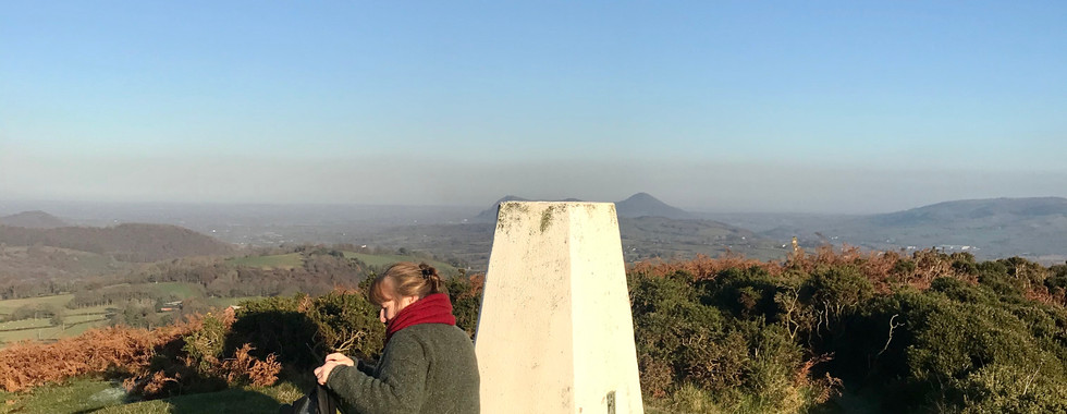
After rejoining the trail you keep heading West until you hit an UC road which you follow to the A458. Turning left you walk for about 500m, cross the road and follow a trail that meanders steeply uphill Northwards. After about half an hour of meandering on a variety of trails the summit trig point comes into sight. On the top there are nice views and you will find yourself in the middle of a golf course.
Coming off the summit we picked up the Glyndwr’s Way path which is well signposts and simply followed this Eastwards all the way back to Welshpool town, about another 5kms.
Parking and Access: We parked at the hotel where we stayed but otherwise there are ample car parks in Welshpool town. Access to the Marilyn is on private land.
Route Summary: Beautiful country estate and park, roads, footpaths and well signposted trails. A nice walk but it is a shame entry to the forest is restricted.
Route Statistics: 19km, 616m height gain done in 5hrs 20mins.
GPX files: For gpx files go to the Peakbagger website by following this link and go to the bottom right hand of the page and click ‘Download this GPS track as a GPX file.’
Ascent Entry on Peakbagger: Upper Park and Y Golfa

Route overview using ViewRanger
First Section to Upper Park
Second Section to Y Golfa


Comments