May Hill and Guardian Hill. Two border hills (2 x Marilyns near Ross On Wye).
- dai186
- Apr 10, 2019
- 3 min read
Updated: Oct 3, 2020
May Hill 296m and Ruardean Hill 290m
After blowing up the gearbox on my Mazda Bongo in the morning I set out on a wet afternoon jolly to the border area near Ross On Wye to get at least something positive out of the day!
May Hill
I made this a long loop to get a decent hike out of it and I also wanted to take in Huntley Hill as it is marked on Peakbagger. I parked up on the narrow roads in May Hill Village just off the A40 about twenty minutes from Ross On Wye. At the start point (on the right by the N in Gander’s Green marked on the map) is a cutting with parking for about 3-4 cars. From here I walked a short way NE on the road before heading off right through Castle Hill Woods on a wide path. I won’t give a turn by turn account but suffice to say follow the gpx trail and be careful as even the 1:25 OS map detail is not brilliant for the entire route. Anyway the detour around Castle Woods was just a wet boggy affair with not much to see.
The route brings you round so that you then cross a road to enter Newent Woods by Clifford Manor and then you are heading North. The trails here range from boggy to good but with still not much to see overall. You pass some fishing ponds and eventually come out on a road that takes you left or West to the village of Clifford’s Mesne. From here you head south on the back lanes/footpaths. At one stage you come to a footbridge, the path is to the right of the footbridge not on the other side of it.
Anyhow carry on until you come out on another road and go SE uphill past the Yew Tree Pub. After about 1.5 kms you will see a footpath sign on your left signposted to May Hill. Follow this all the way to the top where you go through a style/gate and turn left or South for the last bit to the trig point which is in a pretty copse of woods with some bench seats.The views are pretty nice.
Head SE until you come back to May Hill Village. You ‘may’ (pardon the pun) want to skip the bit up Huntley Hill but if not just follow my trail until you come to the A40. Turn right and immediately left and you will find a bridleway that takes you all the way to the top. There is nothing at the top mind and the ‘top’ is actually in a field. Afterwards simply retrace your route back to the village to the car park.
Route Summary: I picked a wet drizzle day so the footpaths were boggy. Lots of wide trails and tracks, footpaths and roads. Nice views in places but a lot of woodland walking which was okay. Nice summit area. Huntley Hill was pretty pants!
Route Statistics: 11.9kms with 443m of height gain done in 3 hours.
Ruardean Hill
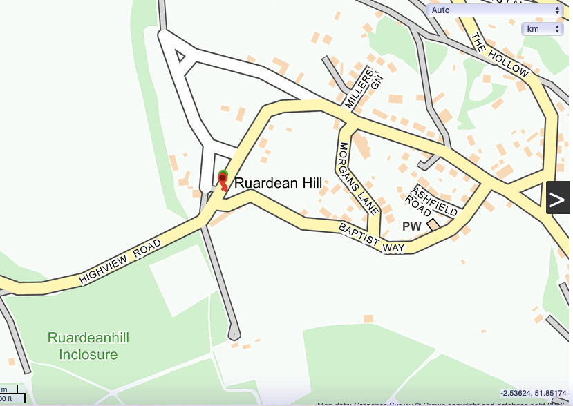
Got to be the easiest Marilyn I have done. Go to Ruardean village off the A4136. Head for the OS highpoint 290 marked on the OS map. Park by a rugby/sports hall (loads of room) at the road junction and simply walk back to the apex of the junction where TP is surrounded by a high wire fence. There is access through the fence. I walked round the TP twice just to give you a gpx marker.
Route Summary: haha
Route Statistics: 10m in 20s with nil height gain.
GPX files:For gpx files go to the Peakbagger website by following this link and go to the bottom right hand of the page and click ‘Download this GPS track as a GPX file.’
Ascent Entry: May Hill and Ruardean Hill

Route overview using ViewRanger.

Parking area in May Hill Village.

One of the better sections.

The footbridge mentioned in the write up. Turn right immediately before it.

May Hill TP.

Wikiloc overview.

Ruardean TP with the parking spot behind.


Comments